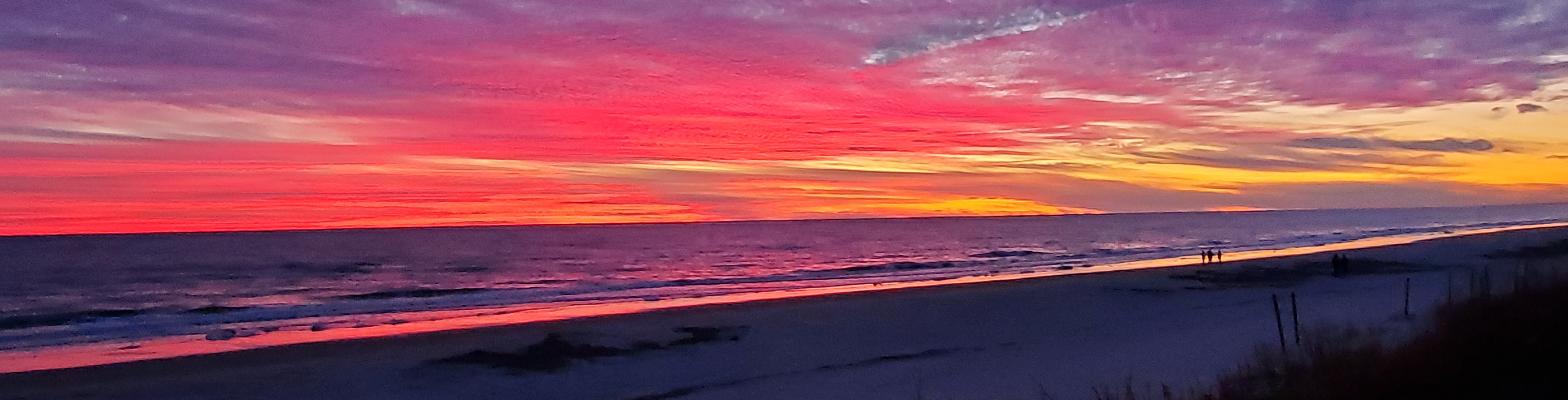
Welcome to the St. Johns County Beachfront Data Collection Facility (BDCF), located on a pristine section of Florida’s Atlantic shoreline in the Guana Tolomato Matanzas National Estuarine Research Reserve (GTM-NERR). The facility utilizes state-of-the-art instruments that constantly record the ever-changing waves, winds, ocean water levels, and currents, and reports the processed results on an hourly basis on this website.
Creation of the BDCF was a collaborative effort, with financial and in-kind support from St. Johns County, the GTM-NERR, the National Oceanic and Atmospheric Administration (NOAA), and Surfbreak Engineering Sciences, Inc. (SES). An alliance comprised of SES and its subcontractors (Giztronics, LLC and the Semaphore Group, Inc.) and the University of North Florida provided the technical expertise, field experience, and labor required to design, fabricate, and install this unique facility. Real-time data collection from all instruments was initiated on November 16, 2021. Operation and maintenance of the BDCF are performed by SES, its subcontractors, and support from GTM-NERR staff, with funding provided by St. Johns County and the Florida Department of Environmental Protection (FDEP).
The data reported and the plots provided on this site have not been subjected to any Quality Assurance or Quality Control, possess no warranty (explicit or implied), and are provided to the public only for informational purposes.
More on the data collection facility
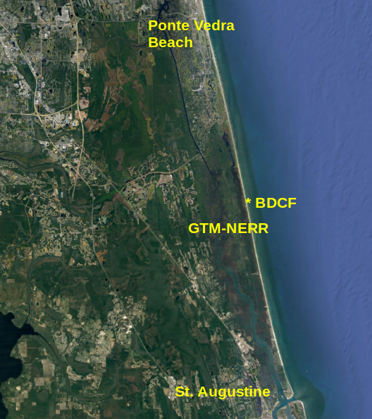 Location of the Beachfront Data Collection Facility in the Guana Tolomato Matanzas National Estuarine Research Reserve (GTM-NERR), St. Johns County, Florida.
)
})
})
})
})